Use Cases
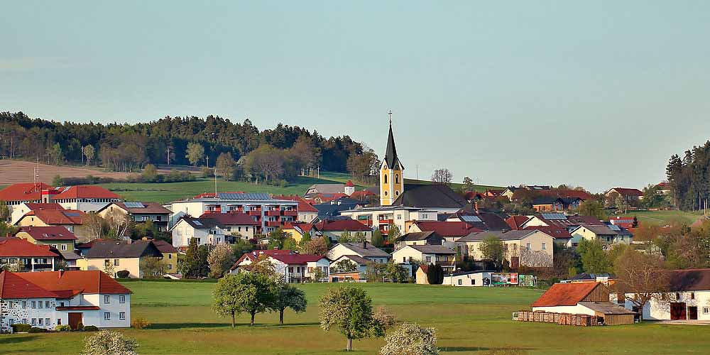
BÜRGERCOCKPIT ALBERNDORF
In spring 2019, a new version of the GeoCitizen (Bürgercockpit) was launched as part of the ongoing Agenda 21-initiative in the municipality of Alberndorf/Mühlviertel – Upper Austria. The Bürgercockpit Alberndorf so far comprehends a series of geo-enabled surveys in different topics of interest such as quality of life and mobility. Results can be reviewed online here.

GEOFARMER: SMALLHOLDER FARMERS AS INFLUENCERS
The GeoFarmer app allows community workers and farmers to easily collect and share information on climate-related agricultural interventions. Development agencies can use the tool to gather effective feedback and to respond to emergent needs of smallholder farmes that are trigged by changing environmental conditions.
SOS CHILDREN'S VILLAGES: COORDINATING EMERGENCIES
The SOS-Geocitizen framework is a progressive web app (PWA) that meets three complementary needs of SOS Children’s Villages International (SOS CVI). First, it allows SOS staff, which are currently present in 135 countries (around 570 project locations), to take pictures that are automatically stored with a GPS tag and uploaded to the SOS media box.
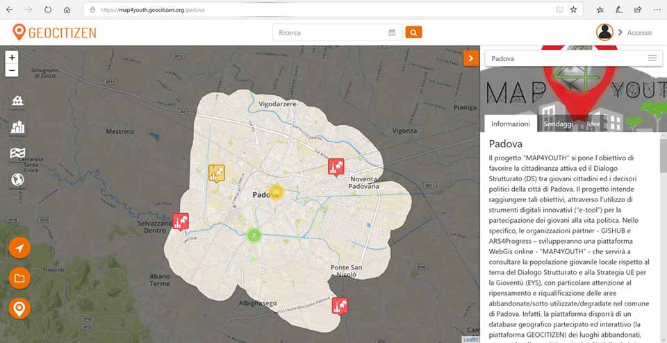
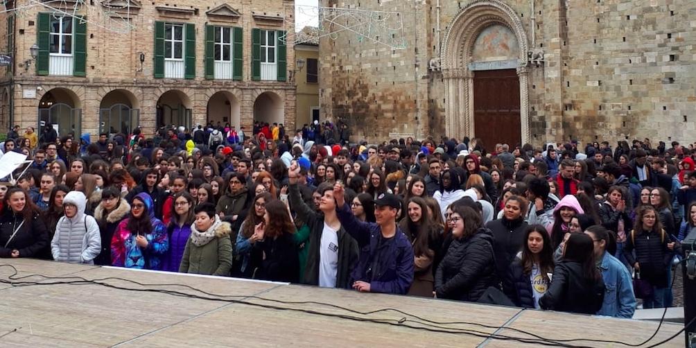
MAP4YOUTH: REVITALIZING ABANDONED SPACES
Map4Youth is an initiative funded by the European Commission through its Erasmus+ Programme – Key Action 3: Structured dialogue and implemented by a consortium of two youth organizations: GISHUB from Padua (Italy) and ARS for Progress from Brussels (Belgium). The project is aimed at fostering youth engagement in decision-making within the city of Padua, Italy: through the use of the GeoCitizen-tool.
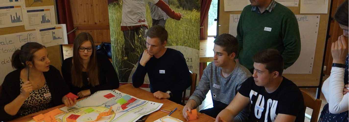
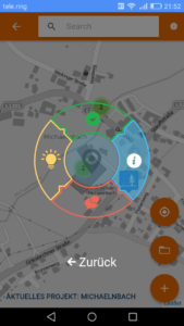
JUGENDCOCKPIT MICHAELNBACH
The municipality of Michaelnbach, in Upper Austria, has tried to support the inclusion of citizens into community projects and the development of new visions for a sustainable living in the community for 10 years. In spite of its small population, Michaelnbach is a pioneer for citizen participation. In the years 2017-18 it carried out the local “Agenda 21” process for the third time, the first two being in 2007 and 2012.
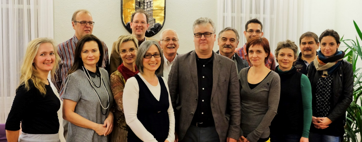
BÜRGERCOCKPIT STEYREGG
“Come right in” was the motto for the 12th of May, 2017 in the city office in Steyregg, where after almost 2 years of dialogue the results of the “Agenda 21” were presented. The municipality has emerged as a leader through its citizen engagement in an effort to improve and design the quality of life. With the implementation of the GeoCitizen App, a new era has begun.

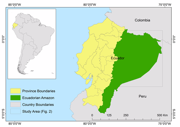
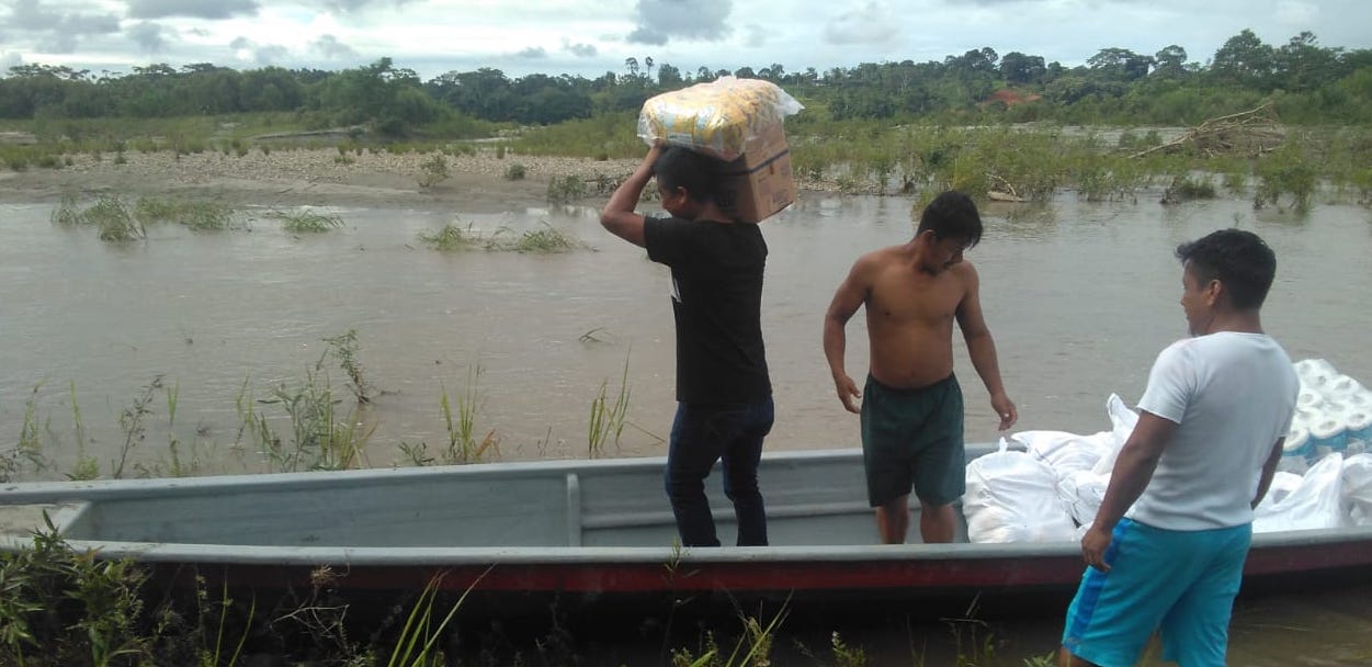
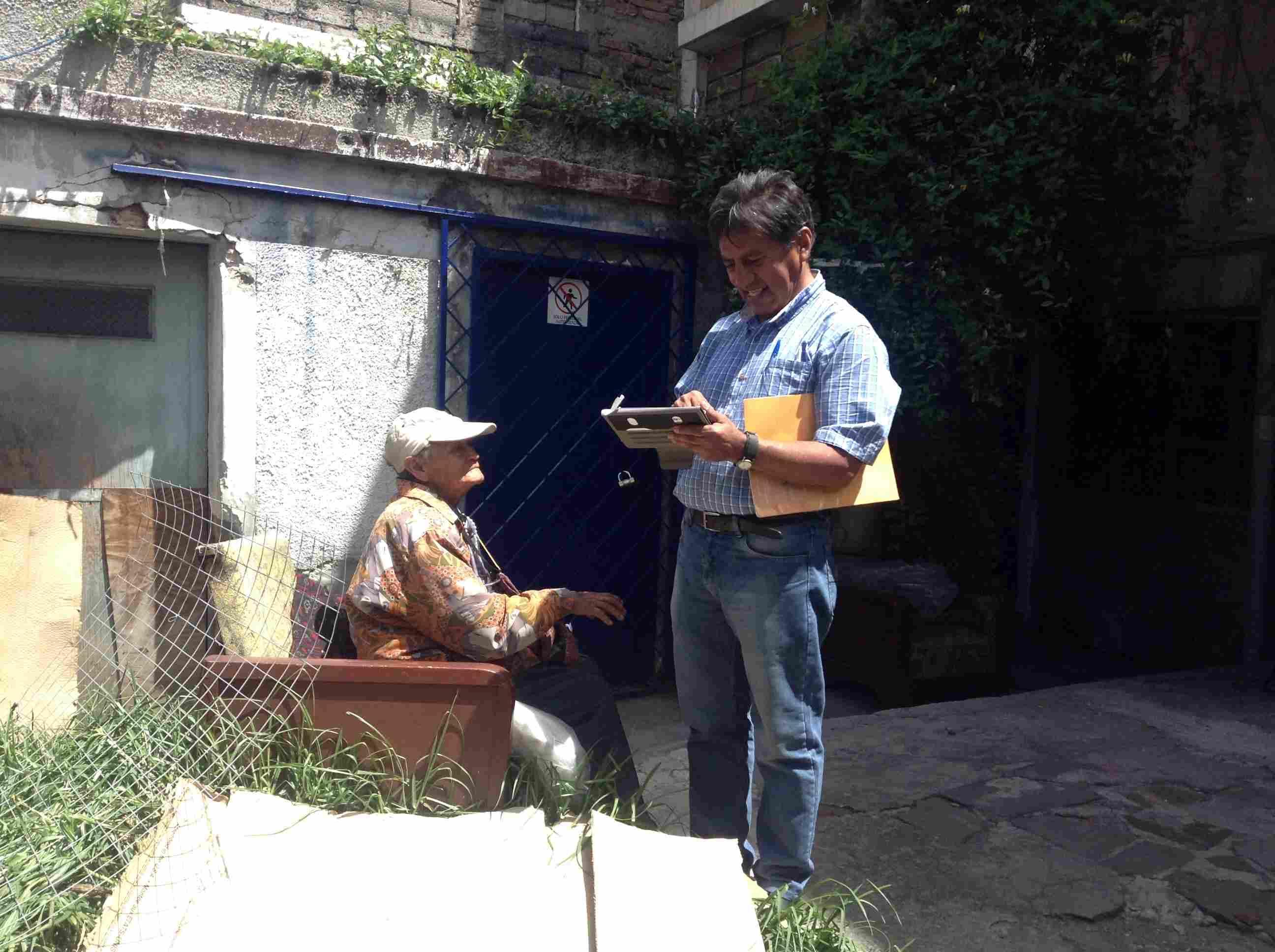
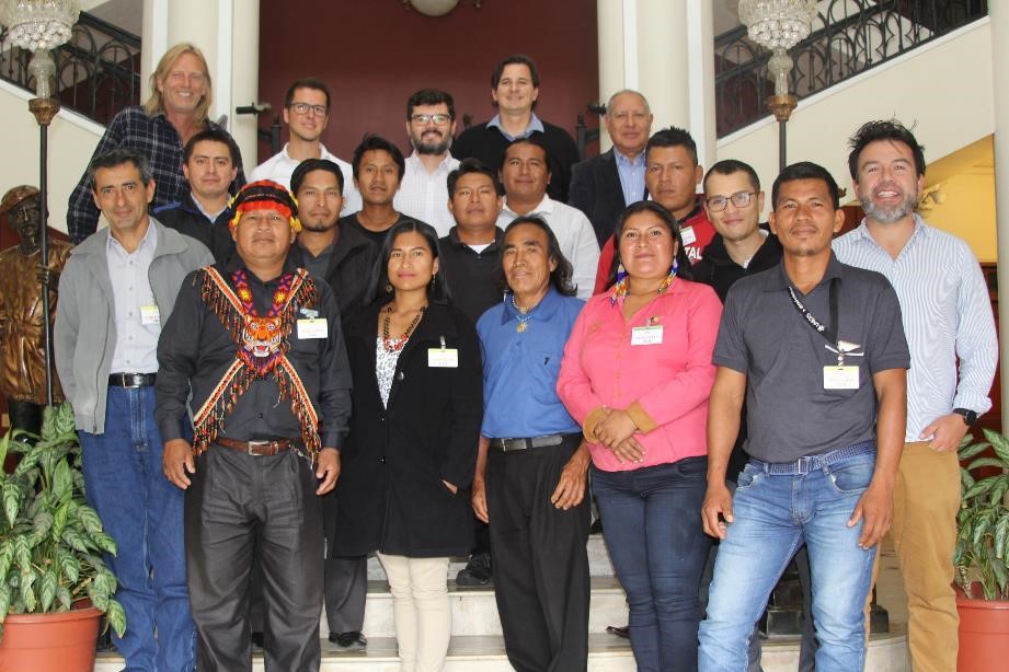
AMAZONAS: PLANTING BRIDGES BETWEEN WORLDS
As members of the AmazonGISnet initiative, we support the indigenous nationalities of the Ecuadorian Amazon in using GIS for managing their ancestral territories. The work focuses on creating structures, mechanisms, and capacities for facilitating the access of knowledge, information, technical tools and experience in work practices and dialogues between participants of community-GIS-workshops, ...
QUITO SUR: A NEIGHBORHOOD RECREATES ITSELF
The citizen initiative BarrioBonito, in southern Quito, aims at improving the living environment at a neighborhood scale under the principles of self-management and self-responsibility of and within the participating neighborhoods using the GeoCitizen platform. This initiative is a response to the urgent need to identify alternative approaches to organize the governance of marginalized neighborhoods in Latin American cities.
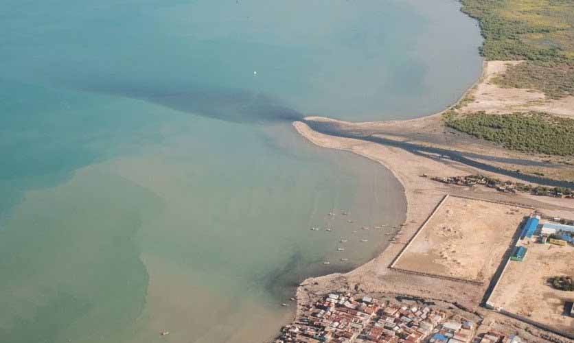
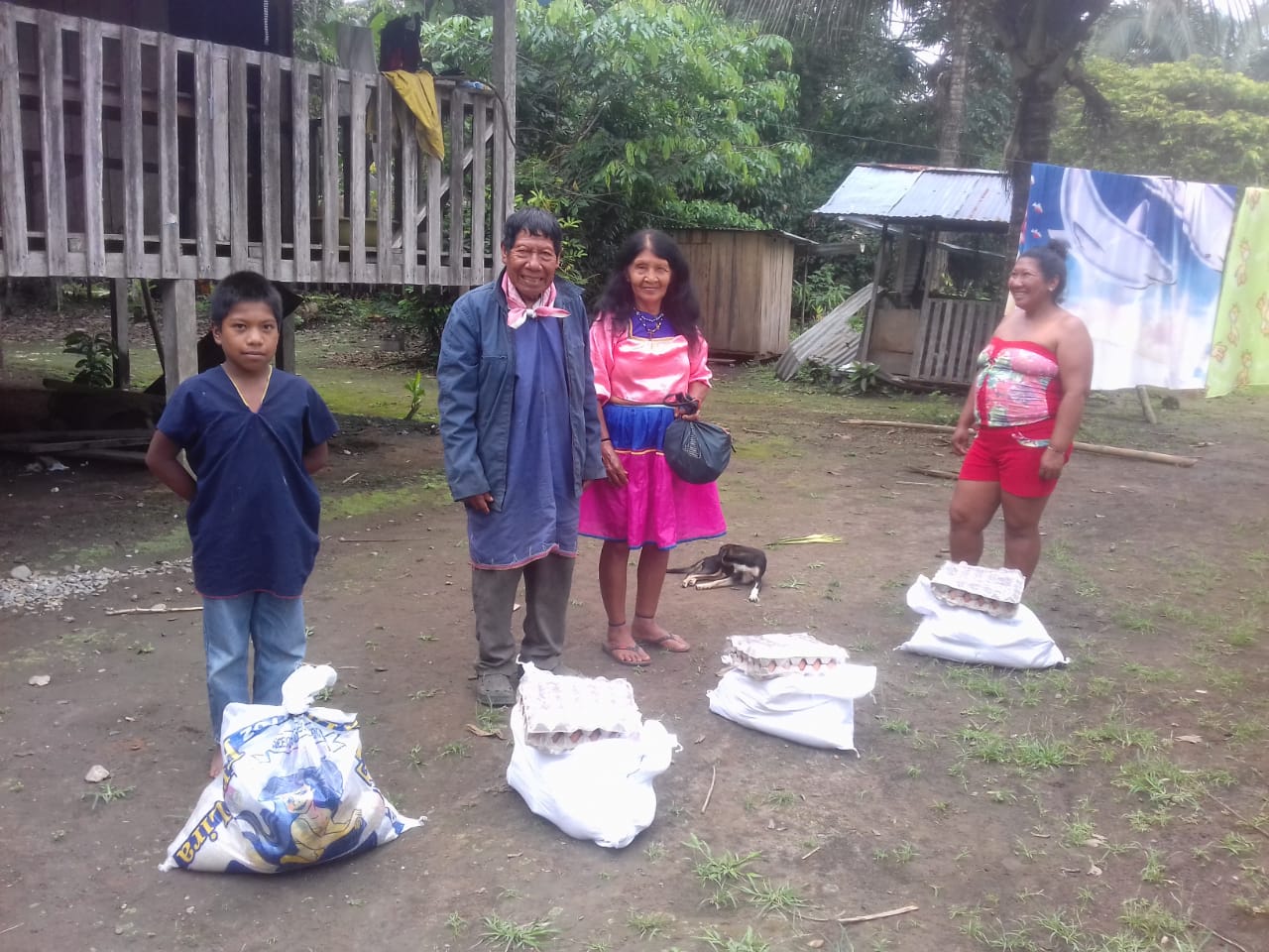
SE4AMAZONIAN
The project SE4Amazonian aims at the delivering of sustainable energy sources to marginalized indigenous communities of the Ecuadorian Amazon. The GeoCitizen is used as a participatory mapping tool to integrate these communities in developing strategies for the provision of clean renewable energy.
GEOCITIZEN ATRI
The "GeoCitizen Atri" project is an initiative funded by the European Commission through its Erasmus+ programme. The project will be implemented by the Italian municipality of Atri, located in Central Italy, Abruzzo Region, in partnership with the Belgian NGO “ARS for Progress of People”. The initiative intends to promote the structured dialogue in the municipality of Atri and the active participation of young citizens of Atri in the political decisions that concern them directly.
BÜRGERCOCKPIT KREMSMÜNSTER
Building upon a long and successful tradition of engaging citizens in local governance, the City of Kremsmünster, Upper Austria, has started working with the GeoCitizen (Bürgercockpit)-Application in October, 2019. In a first step, the GeoCitizen survey tool is currently used to gather the opinion of the citizens of Kremsmünster on different issues in city planning and management.
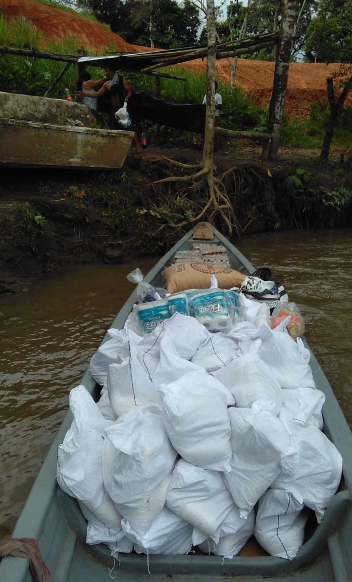
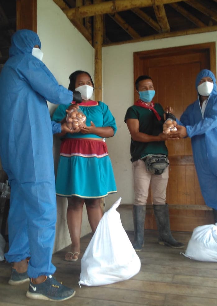
COVID-19 COMMUNITY SUPPORT
Geocitizen was used within the past 5 years for several community management tasks, from rainforest monitoring, illegal logging detection, territorial landuse management issues (http://amazongisnet.net/ http://blog.geocomunidad.org/en/uncategorized-en/amazongisnet-2-2) to sustainable energy provision analysis (http://www.se4amazonian.com/en/).